
PROJECTS
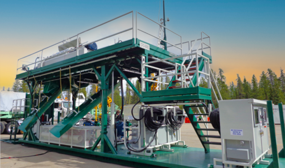
GCGS - an automated line steering control system for Rubber Tyre Gantry (RTG) cranes for a container ports.
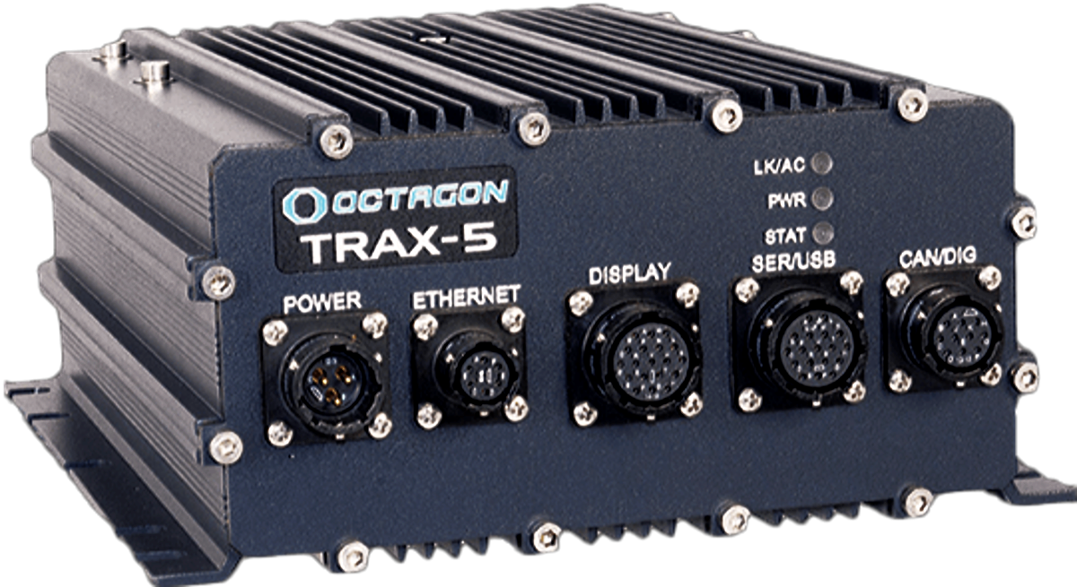
 The GCGS system provides steering for RTG cranes, keeping them on virtual container lines that frees the operator to focus on the container placement. Multiple sensors are integrated to provide a centimeter level accuracy for the crane and drives the cranes steering mechanism to guide the crane along the virtual line. Geofencing is included to warn the operator when entering areas requiring special attention. The system provides an on-board web site for system configuration and reports its position and status to a centralized server.
The TGX™ Gateway enables data exchange between Industrial Scientific gas-detection instruments and iNet®.
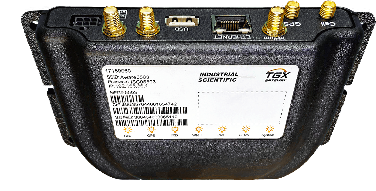
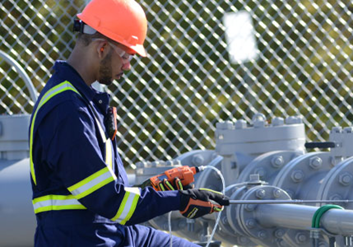 There are two available transmission configurations—a Satellite and Cellular Unit and a Cellular-only Unit. Equipped with LENS™ (Linked Equipment Network for Safety), cellular, and satellite (optional) capabilities, TGX provides the wireless connections needed for the sharing of gas readings, alarms, GPS coordinates, and other data to iNet. The TGX is designed for the “mobile worker”, someone who may travel to one or more sites, including locations outside a company’s in-fence facilities. This in-vehicle mounted gateway with its rooftop antennas permits remote, live monitoring of the mobile worker’s gas-detection instrument and in-range LENS peer instruments.
FastTrack provides near real-time aircraft event monitoring for tanks and buckets for fire fighting operations in Canada, US and Australia.
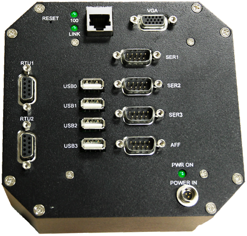
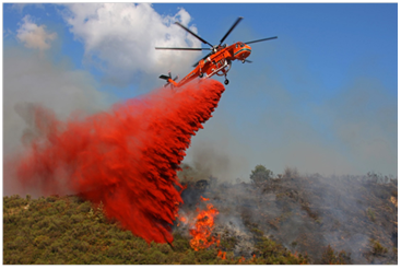 Headed up the end-to-end design, development, and certification of the FastTrack hardware and software. The software was built on a Linux OS running on a single-board computer hardware platform. The system integrated GPS, serial data, voltage input readings and satellite-based communications to report helicopter activity such as water volume pickup/dropping for firefighting. Data was transmitted back to servers for web-based display and report generation.
Transport Canada and FAA certification was obtained for installation of these systems in various helicopters.
TruLink 3000 is a Multi-nodal data event collection and tracking system for vehicles and equipment. The system uses the lowest cost communication (cellular, satellite, Wi-Fi) method for two-way transmission of messages.
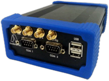
 The TruLink is an ARM based hardware platform running the Linux OS that can provide continuous tracking and data collection for vehicles and equipment. The system integrates a cellular modem, GPS, Iridium satellite communications, Wi-Fi hotspot, Zigbee radio and various inputs to allow for a wide variety of integration and monitoring operations.
The Kodiak AccuDrill System is a Real-time navigation, surveying and tracking system for final source point coordinates for heli-portable seismic exploration operations.
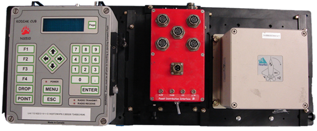
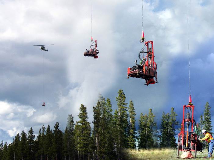 AccuDrill is a complete navigation and survey system used in heli-portable seismic drilling applications. The system uses an integrated GNSS NovAtel inertial system called SPAN (Synchronized Position and Attitude Navigation) to accurately position the helicopter in real-time. The height of the helicopter above ground is determined from laser range readings and measured offsets of the drill and long line. The Kodiak NS512 Cub integrates with the helicopter’s onboard load cell and drop switch to tag drill pickup and drops. Devices attached to the drills and compressors called ELFs (Equipment Location Finder) allow the NS512 to determine whether a drill or compressor is being deployed or retrieved.
STC’s certifications were obtained for Bell 212/4 helicopters from Transport Canada and FAA.
AccuDrop is an effective management tool for asset/personnel deployment and retrieval using helicopters in seismic exploration operations.
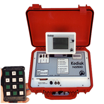
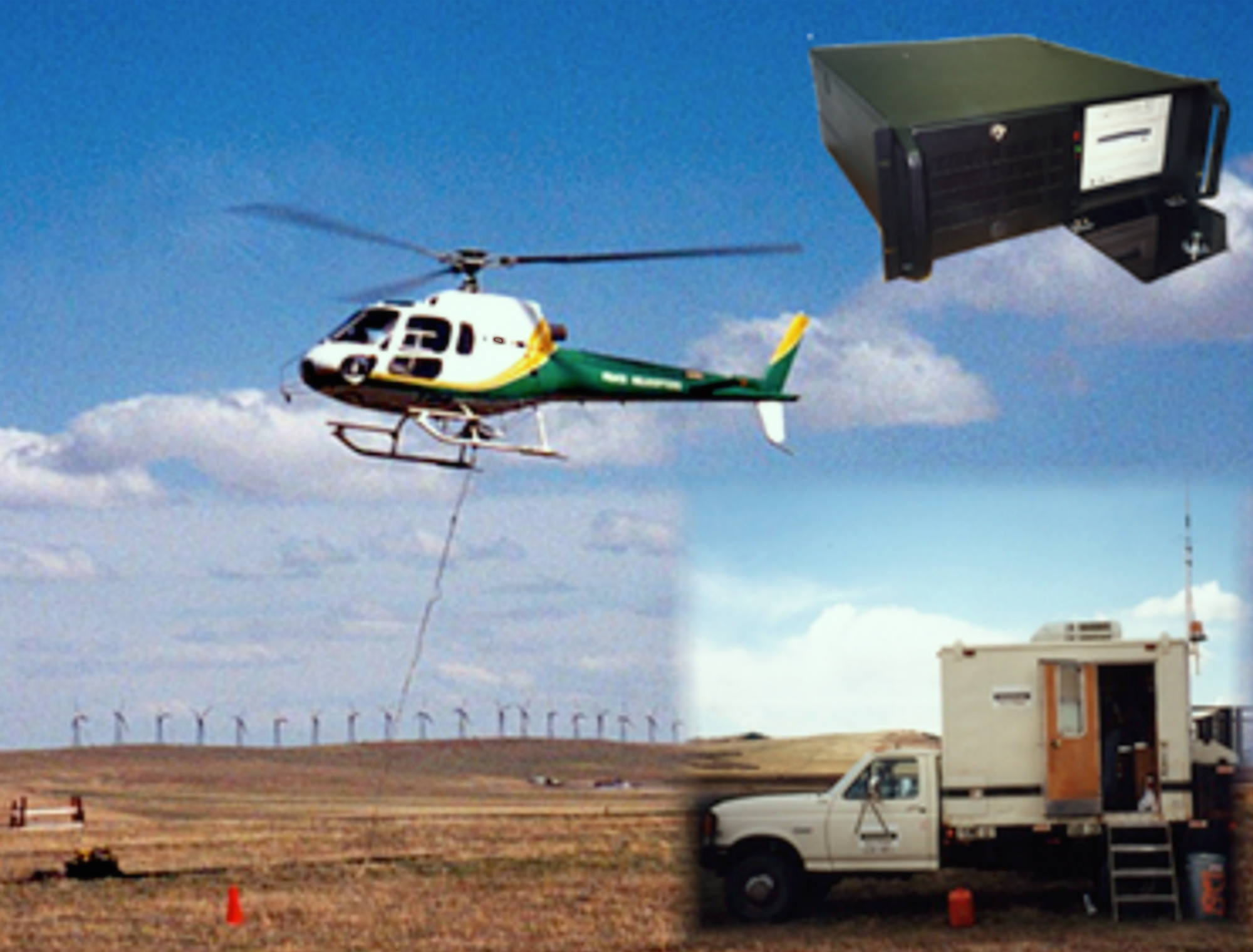 AccuDrop is a real-time navigation, bag management and tracking system for land seismic heli-assisted operations. The system consists of a GPS receiver, UHF/VHF radio, L-Band DGPS unit, rate gyro, high-intensity LCD, and processor with removable data storage.
The AccuDrop polls vehicles sequentially and transmits information to the base station, running KodiakOffice, every five to ten seconds. When it polls a vehicle, it transmits the vehicle’s target, position, COG, and SOG. It also transmits any events since the last poll, such as drops or pickups. If the communication link is temporarily interrupted, the NS500 accumulates the events until the next poll. The system continues to transmit events until it receives an acknowledgement from the base station.
STC and LSTC certifications were obtained for A-Stars, Bell 407, 206L III, and Koala helicopters.